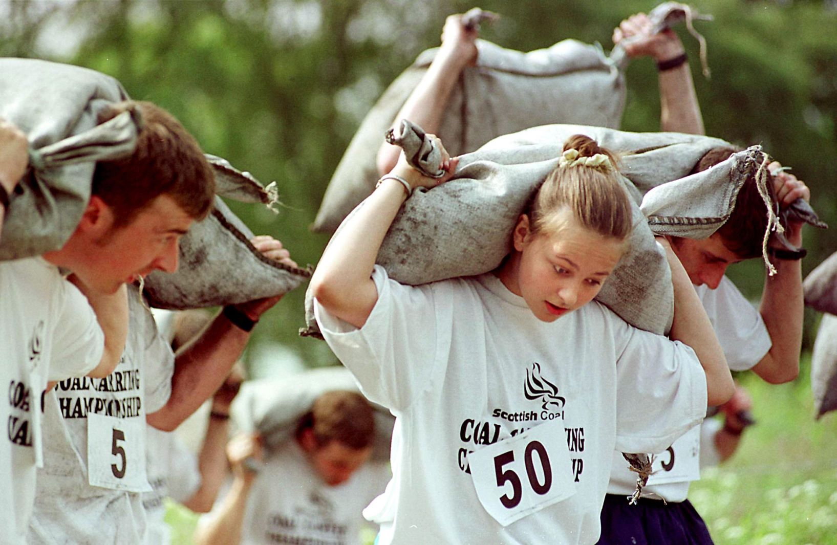
A love for the great outdoors
14 Feb 22
6 MIN READ TIME
01 January 21
Outdoor
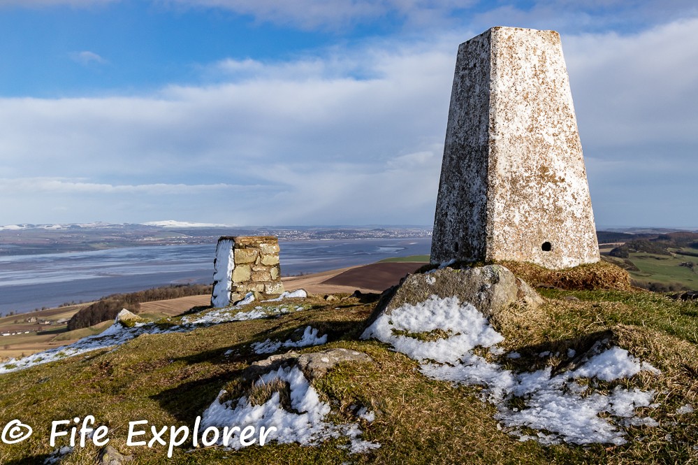
A Wee Fife Hill With Big Views and a Story (Norman’s Law) by Ken Hunter, The Fife Explorer
Panoramic views in all directions defined the rolling Fife landscape as far as the eye could see - green and brown undulating farmlands, snow covered hills, dark woodlands and the blue River Tay estuary contrasted with the rough scrubland of the summit and hilly foreground below. The blue sky intermittently turned a stormy dark grey as snow clouds dropped their wintry load. Scenes I was determined to capture despite the windy conditions. The strong icy wind sweeping over my vantage point consistently tried to blow me off my feet as I battled to fix the camera to the tripod.
A fairly short ascent to an elevation of 285 metres commands views to rival that of much higher well-known Scottish ‘Munros’. An O.S. Trig Point pillar and a direction indicator cairn mark the summit of the lower Norman’s Law (highest point in north Fife). The less rugged rural landscape introduces a vista capturing the nearby West Lomond and Ochil Hills and beyond to Ben Lomond in the west; northwards are the Angus Glens and the Cairngorms. To the south and south-east is Hill of Tarvit near Cupar and Largo Law respectively. The higher hills in the middle and far distance are snow clad; Norman’s Law though has dodged most of the heavy snow with only a partial covering on top. In the lee of the summit I enjoyed a little refreshment while sheltering in a loosely built stone windbreak as I watched the tide recede and sandbanks re-emerge in the Tay estuary; then it was down to photographing the breath-taking landscapes around this great little top…
The site of an ancient hill fort settlement this hill has a history, and given its obvious prominence early settlers chose the spot to build their homes as it afforded a clear perimeter outlook of the surrounding land and defence against visiting marauders. There is a theory that its name ‘Norman’ is descended from early Norse raiders that may have established the settlement here. Previous archaeological surveys have established that the visible lines of loose stone around the summit area are the remains of the hill fort and associated settlement. A few thousand years ago this would have been a busy place with folks going about their lives - no so today however, the land handed back to nature and only the wind to keep me company.
I descended eastwards to a farm track in the valley that would lead me north to my starting point. A buzzard and later a sparrow hawk hovered confidently in the wind, tail feathers flicking furiously to control positioning, and then with another flick, off they sped to look for better pickings. On reaching the track, a small herd of roe deer gracefully bounded over my path and into an area of scrub. Detected only by their bouncing white butts as they skilfully negotiated the terrain, they quickly disappeared into the wood beyond.
Routes climbing this hill are numerous, and these can be obtained from a Google search for Norman’s Law. The short route I followed started just west of the village of Brunton where I picked up the Fife Coastal Path at the point it meets the unclassified road at O/S Grid Ref: NO310210. Following the post-marked Fife Coastal Path, a farm track heading south rises towards the hill ahead. As the tree line is reached the path branches left and right – guides generally advise turning left which will take the walker into a small valley below Norman’s Law, then a narrow undefined rough path ascends to the summit. I however plumped to turn right following the Fife Coastal Path route that rose closer to the summit mound. As the ground to my left was blanketed in snow, I chanced a traverse over an area of grazing field directly to the summit rise. It was fun negotiating the rocky outcrops to attain the top less than an hour since setting off. Descent to the start is by way of the path to the valley track, over the eastern shoulder of the hill.
Perhaps the lesser known of the Fife hills but one that is worth a visit!
Advice - Although lower in height, ensure robust outdoor clothing and walking boots are worn. Have some fluids and food packed in a rucksack – and take your camera!
Tip - Given that some time may still be available following the return to the start, a most enjoyable experience to round off the day can be had at the Lindores Distillery some six kilometres west in the eastern outskirts of Newburgh. A whisky distilling facility with an interesting and informative visitor’s centre, where the monk’s story is told of the ancient art of distilling; and the adjoining remains of the ancient Lindores Abbey.