Outlander filming locations in Fife
4 Feb 22
14 MIN READ TIME
01 January 19
Outdoor
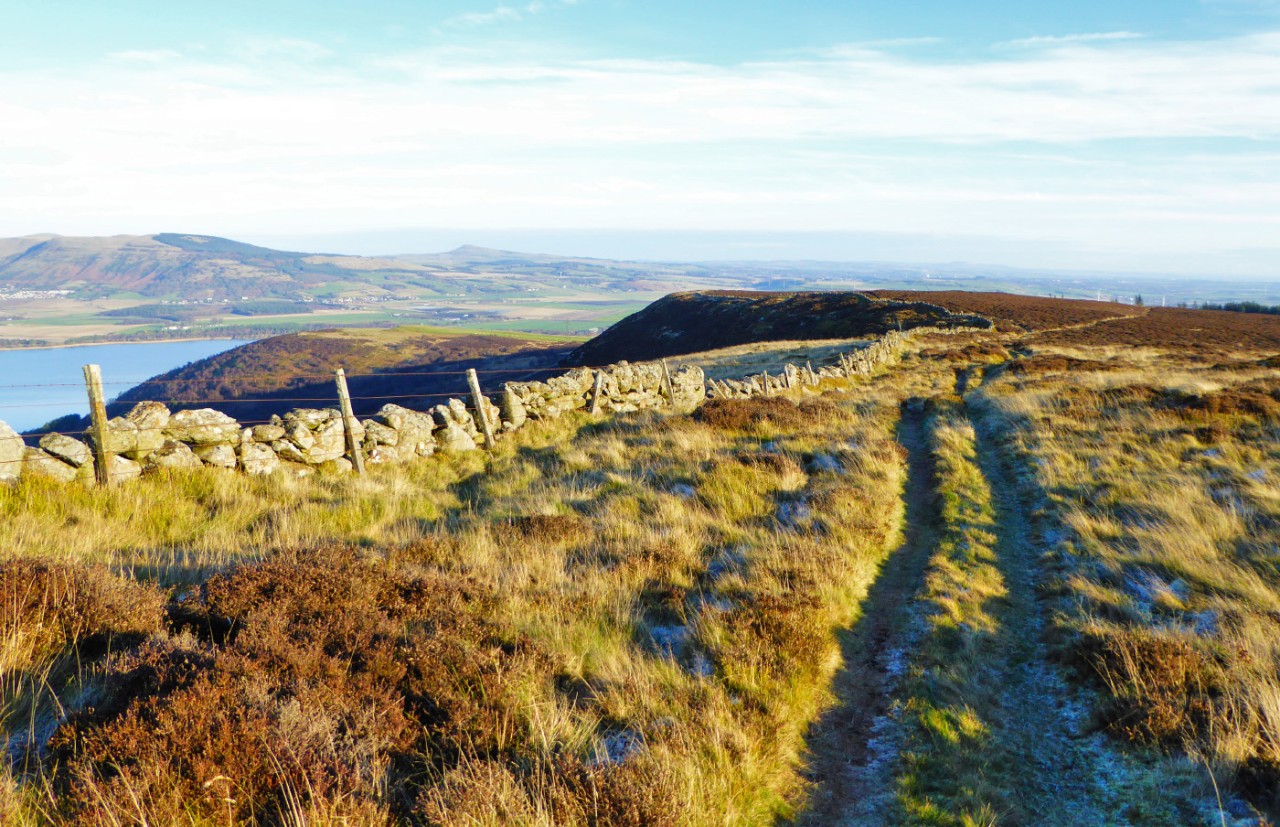
Benarty Hill, affectionately called the ‘Sleeping Giant’ on account of its profile from the north, is perhaps less well known than Fife’s other big hills but it is well worth exploring in its own right. This route starts and ends at Benarty Bay, on the northern shore of Loch Ore, but it doesn’t take the shortest route up and down the hill. Instead it follows an undulating route that also takes in Harran Hill and historic Mary’s Colliery, and as a result traces a big figure of eight on the map rather than a loop or a simple ‘there and back again’.
A fit hillwalker could probably power around this walk in around 2.5hrs, but there are plenty of worthwhile distractions en route, not least the superb view from the top of Benarty, so it makes for a good half-day walk.
Time: 3 to 5hrs.
Distance: 11.1km
Ascent: 300m
Path info: Woodland paths on Harran Hill; steep steps, rough grassy tracks and forest roads on Benarty Hill; farm tracks and an open field on the approach to Loch Ore; then excellent surfaced paths around Loch Ore itself.
Start & finish: Public car park at Benarty Bay, which is at the end of an unclassified road accessed via the B996. Google Maps: http://bit.ly/benartybay OS grid reference: NT158960.
Refreshments: There is a café at the Willie Clarke Centre en-route, in Lochore Meadows Country Park.
Information: A map of all the waymarked trails that start at, or pass through Benarty Bay can be downloaded from the Living Lomonds website. The route I’ve put together here uses the Red and the Green trails for most of the walk, except for the ascent and traverse of Benarty Hill. Fife Coast and Countryside Trust have also produced a series of leaflets outlining what you can expect to see on the different trails in Lochore Meadows Country Park.
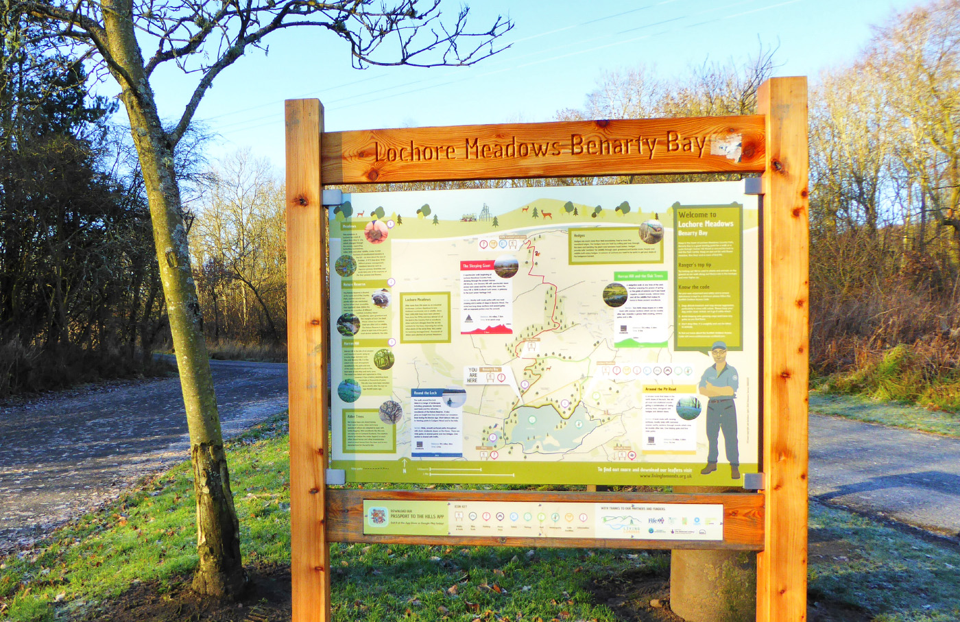
From the car park, with the loch behind you, turn left onto the road. After just 20 metres, where a finger-post points towards RSPB Loch Leven, turn right through the gate to ‘Harran Hill Wood’.
The wide path climbs gradually through lovely old woodland. After almost 1km of gradual ascent you reach a bench where red/green waymarkers point left.
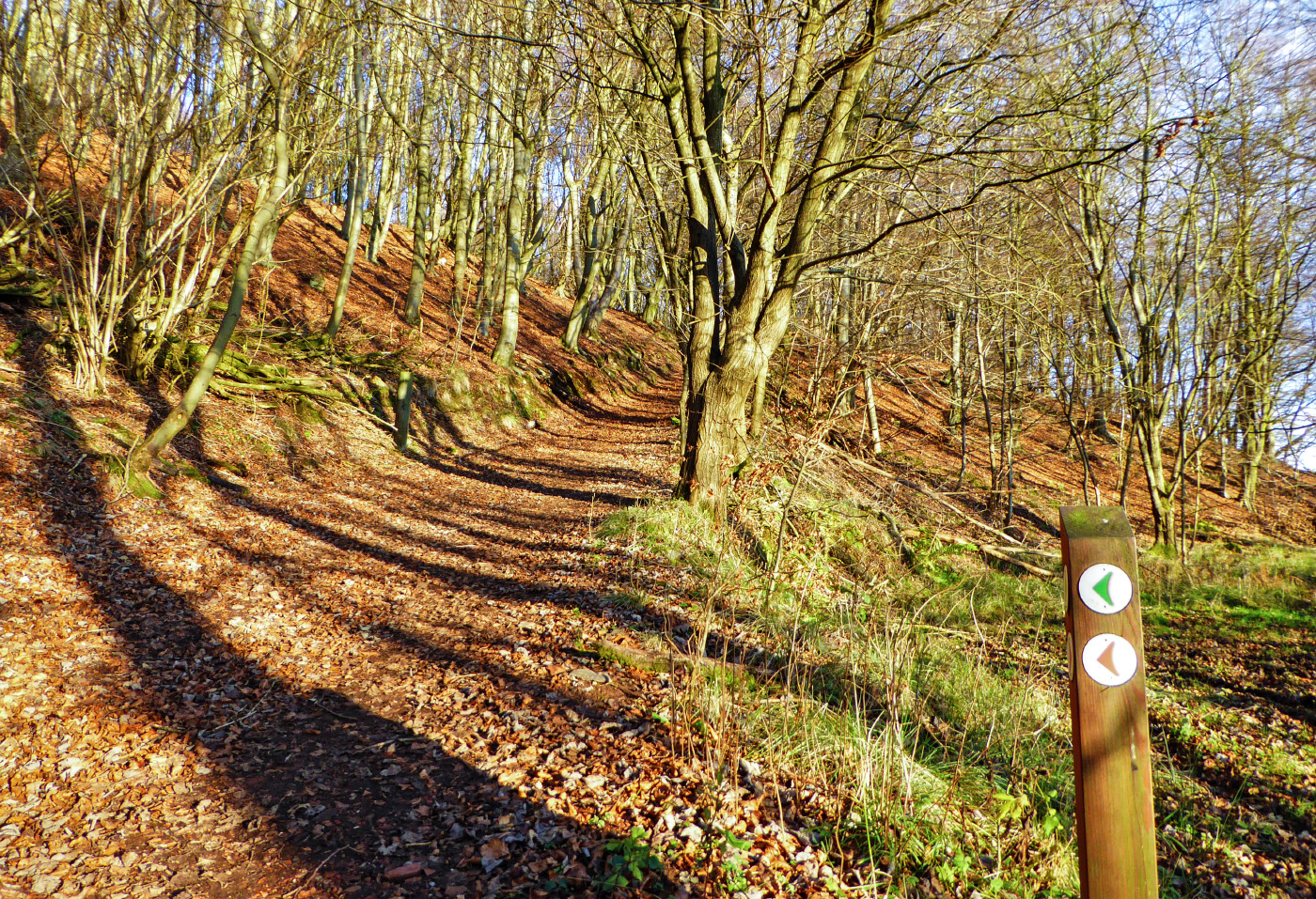
Follow the markers and shortly afterwards the path climbs noticeably more steeply for 20 metres or so. The path then bends to the left as it climbs, almost doubling back on itself.
It soon levels off again and then bends to the right, at which point a small crag can be seen just to the right of the path. You then pass some newly planted young trees on your right as the path again climbs slightly, before it levels off and veers to the left.
At the next junction of paths, which is marked by a waymarker, follow the red/green arrows by taking the path that heads off to the right, going slightly downhill.
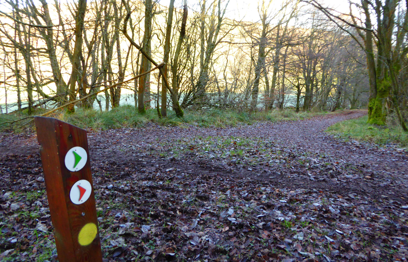
At another red/green waymarker the path swings sharply left before arriving at a wooden gate on the farm road. Go through the gate and turn left.
Follow the farm road until it reaches a minor road, at which point you will see a layby with some steps beyond it. This is the main public parking spot for climbing Benarty Hill.
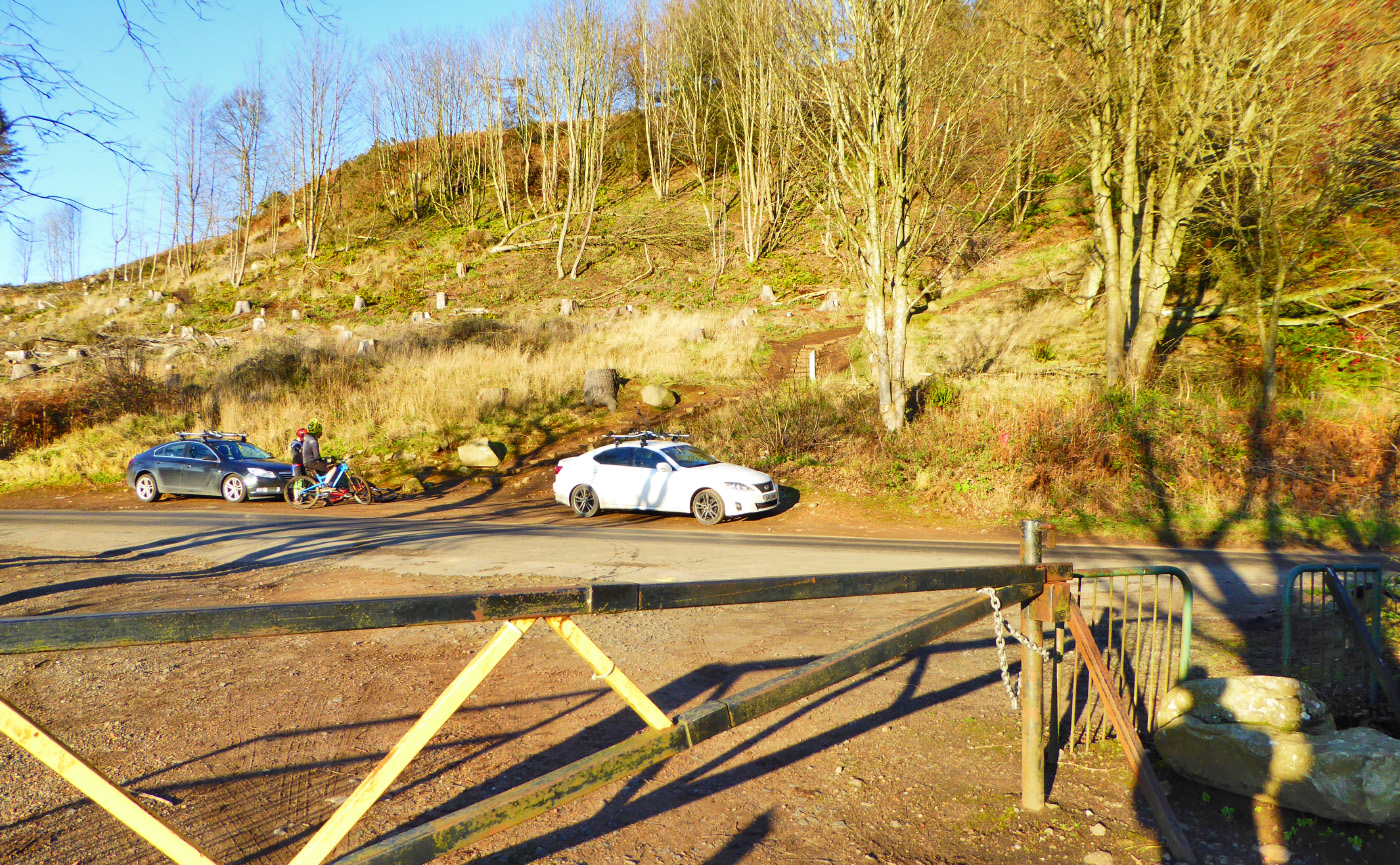
Cross straight over the road and climb up the steps, which are steep at first. Follow the stepped path as it climbs in a series of switchbacks up the hill.
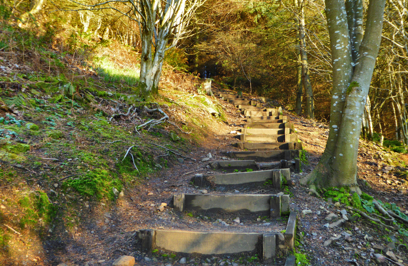
After five minutes of tiring ascent, the trees thin out and you arrive at a junction of paths, marked by a bench and a waymarker. The red arrow points to the right but this is where you stop following the waymarkers on Benarty Hill. Ignore the waymarker and instead turn sharp LEFT.
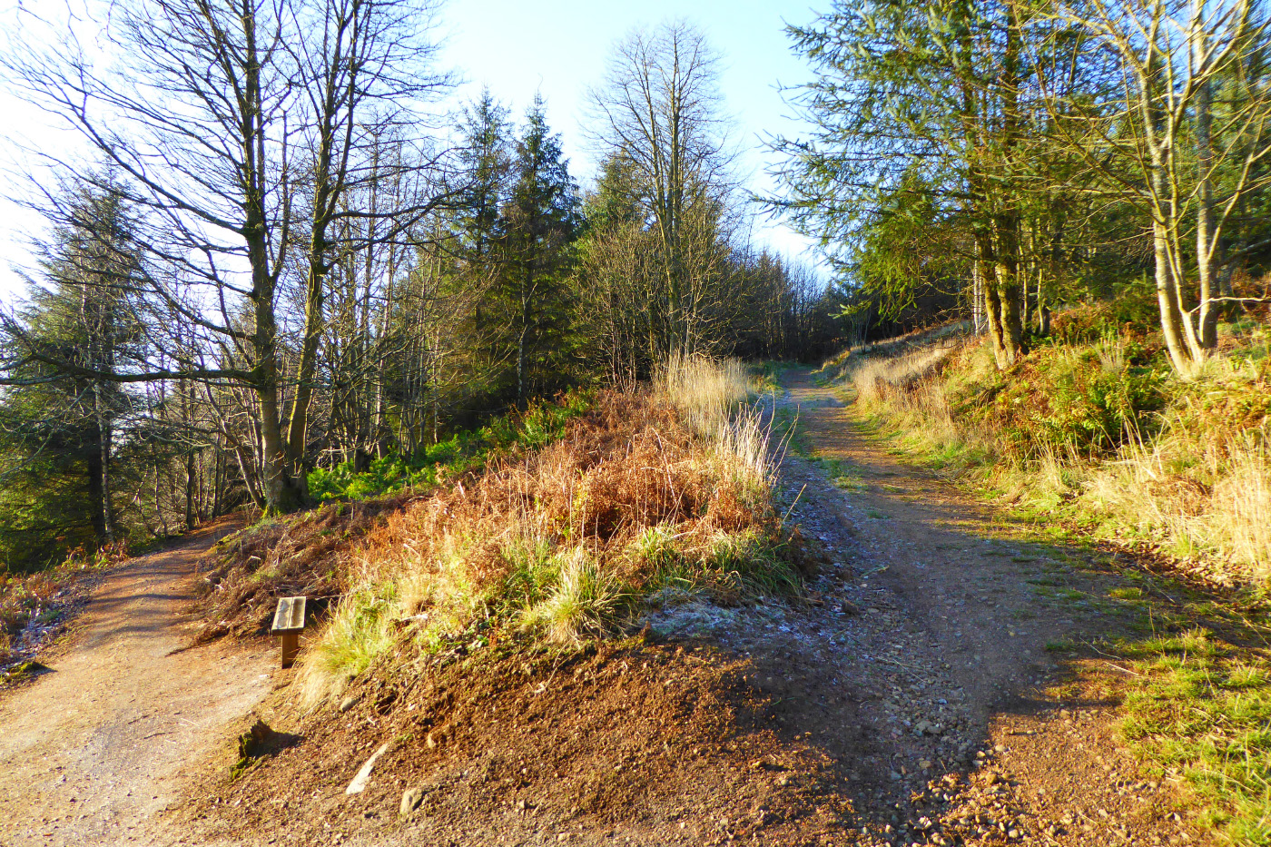
You quickly emerge from the trees once again, arriving at an open area of the hill where the trees have recently been felled. This was dense spruce forest until 2017, and the felling operations made a bit of a mess of the existing informal paths.
The way isn’t obvious at first but there are two rough paths you can follow from this point. One is small and narrow and carries straight on, while the other is wide and rough and basically just a dirt slope that rises to your right.
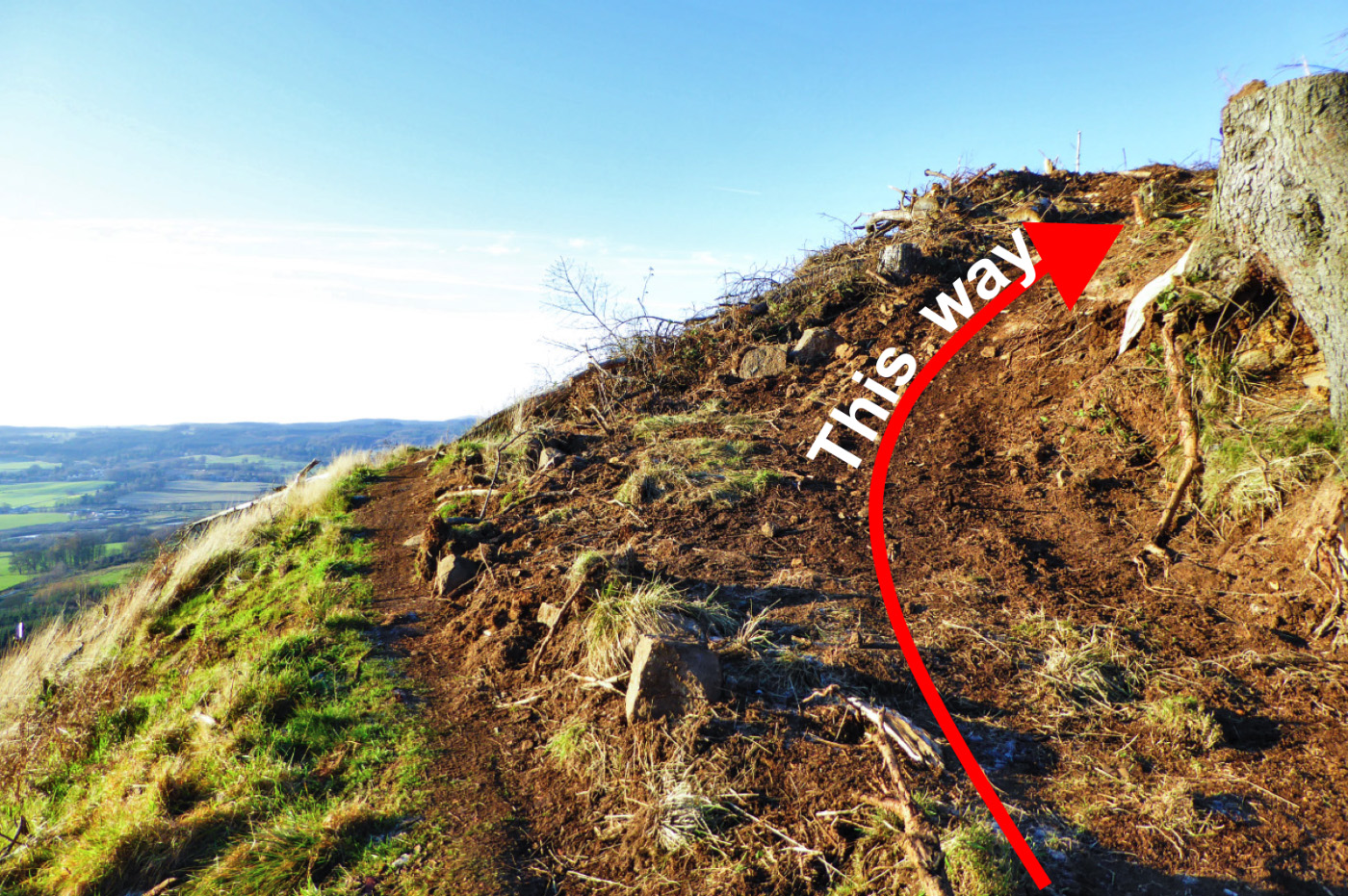
Climb the dirt slope, which is only a few metres long, after which you will arrive at a crossroads of rough paths. Turn right onto the narrower dirt path, which clearly climbs up the hill. These paths are popular with mountain bikers (MTB) so keep an eye out in case someone comes hurtling down the hill. It’s not a dedicated MTB centre like Glentress etc, so they should certainly be expecting to encounter walkers and slow down, but even so it pays to be vigilant.
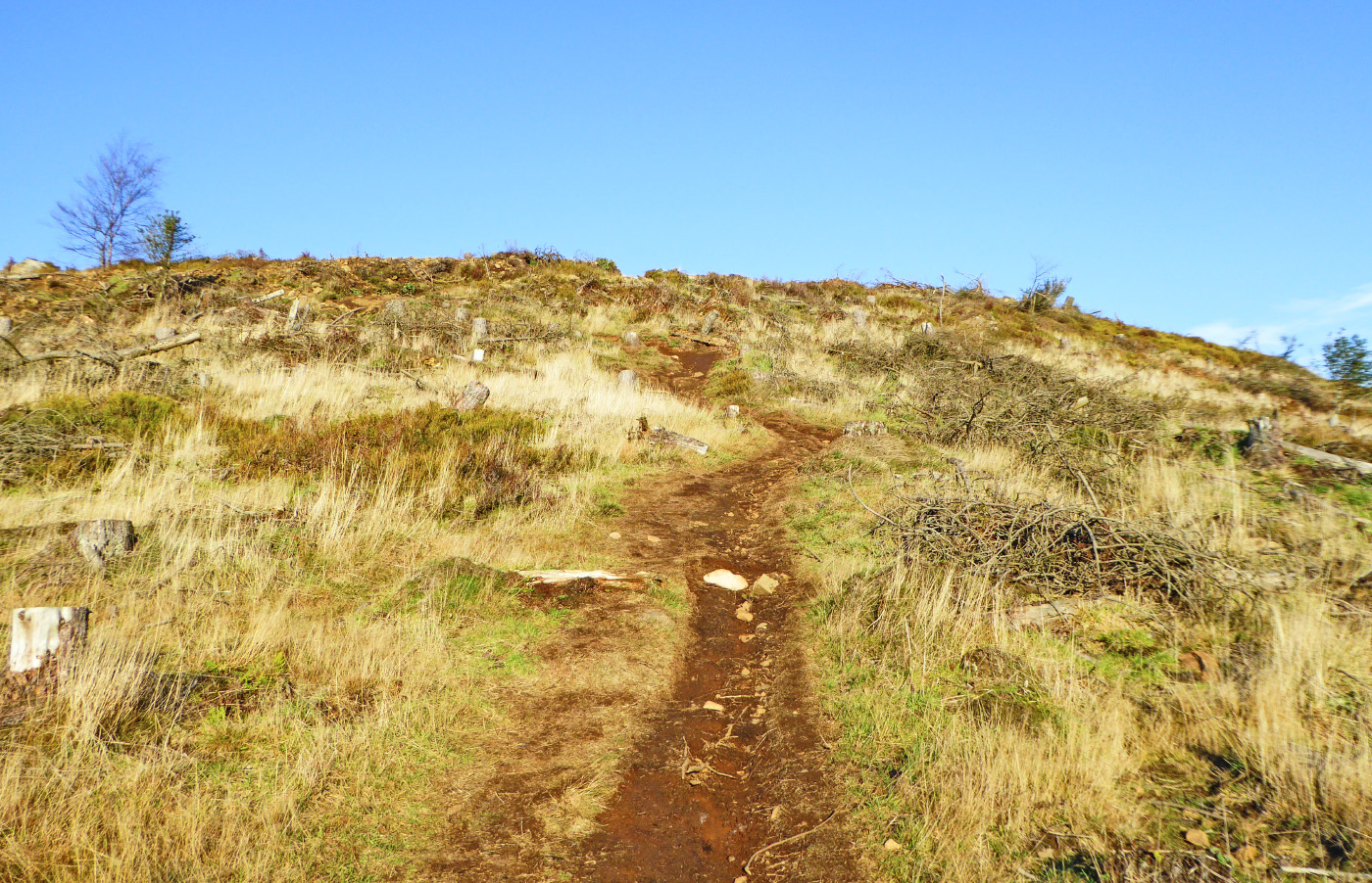
When you reach a wide forestry track, cross straight over it onto the narrow path beyond and continue the climb up the hill towards a fence and an old stone wall.
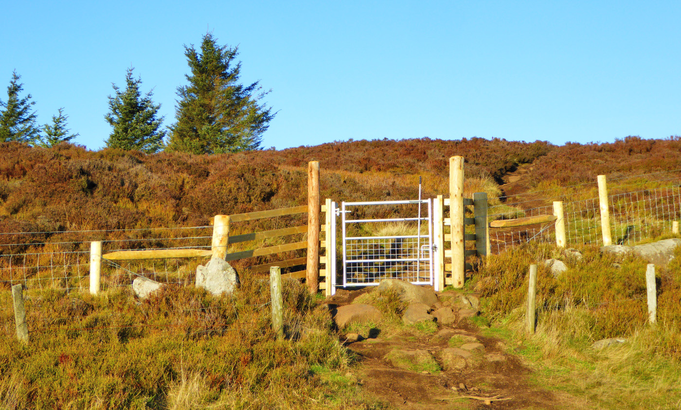
Go through the metal pedestrian gate and follow the clear hill path as it winds its way across open heather moorland.
After a few minutes the path leads you up to an obvious summit, which is capped with a large boulder. This isn’t the proper summit, but it’s a good place to take in the views behind you across Fife, as much of it won’t be visible from the top of Benarty Hill itself. You can hopefully see the actual summit, which is just 11m higher, in the distance to the north, marked by a trig point.
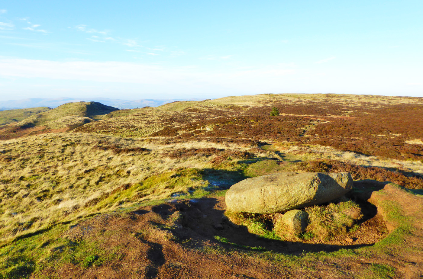
Leave the wee summit and continue along the path, which is now mostly on the flat. You pass a lone spruce tree on your left, and then between 5 and 10 mins later you arrive at the summit trig point of Benarty Hill.
As fantastic as the views north are, much of the near-distance is still hidden from view at this point, so follow the right-hand path just a bit further directly towards the fence in order to get the uninterrupted views from the top of the escarpment.
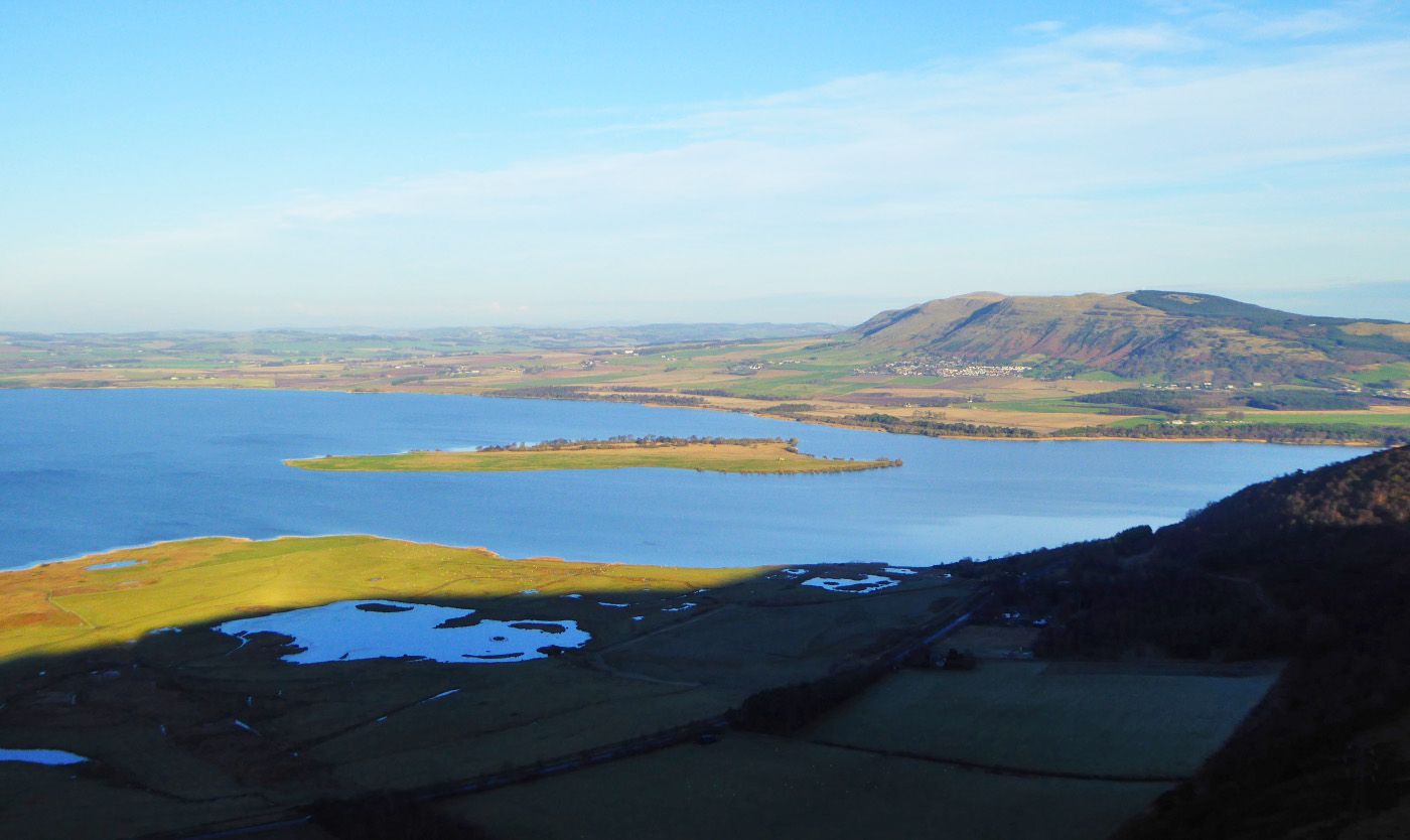
Loch Leven looms large below, and you can see the Ochils stretching all the way along the horizon to the left. To your right are the Lomond Hills, and way beyond on the horizon, on a clear day, you can see the distant Cairngorms and all the way to Lochnagar, 55 miles away.
At the fence, with Loch Leven in front of you, turn right and walk along the path that runs parallel to it, so that the loch and the fence are now on your left. As you walk along the escarpment some very rough paths head off to the right but ignore these. Just stick religiously to the fence line and you’ll be fine.
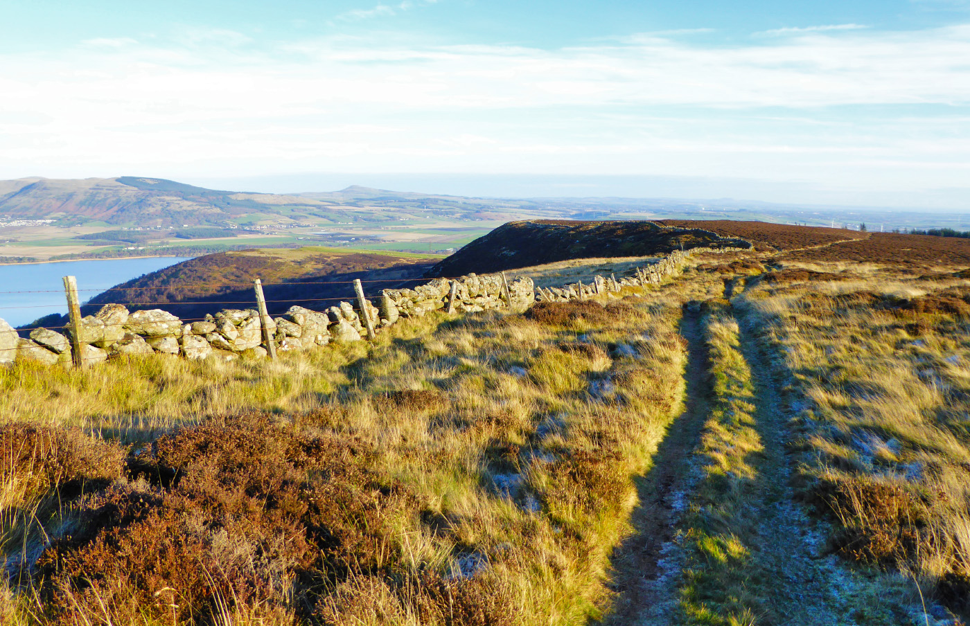
The path gradually loses height as you walk along the escarpment until, about 15 or 20 minutes after leaving the summit, both the fence and the path bend to the right, away from Loch Leven. Shortly afterwards, still following the fence, you arrive at a metal pedestrian gate.
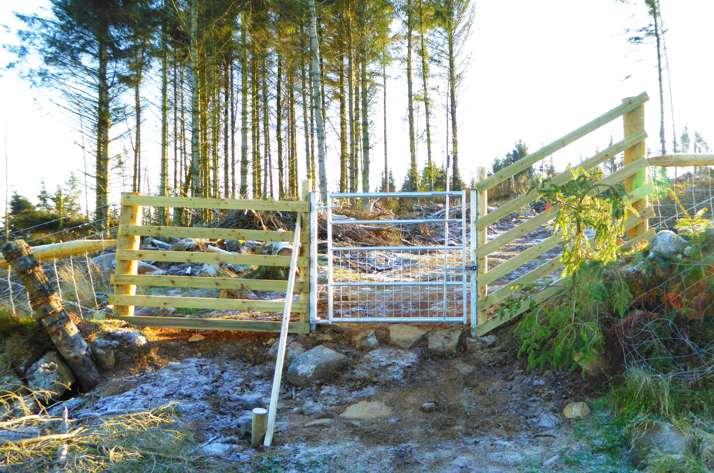
Go through the gate and then immediately turn left, following a rough but clear grassy path along the fence line.
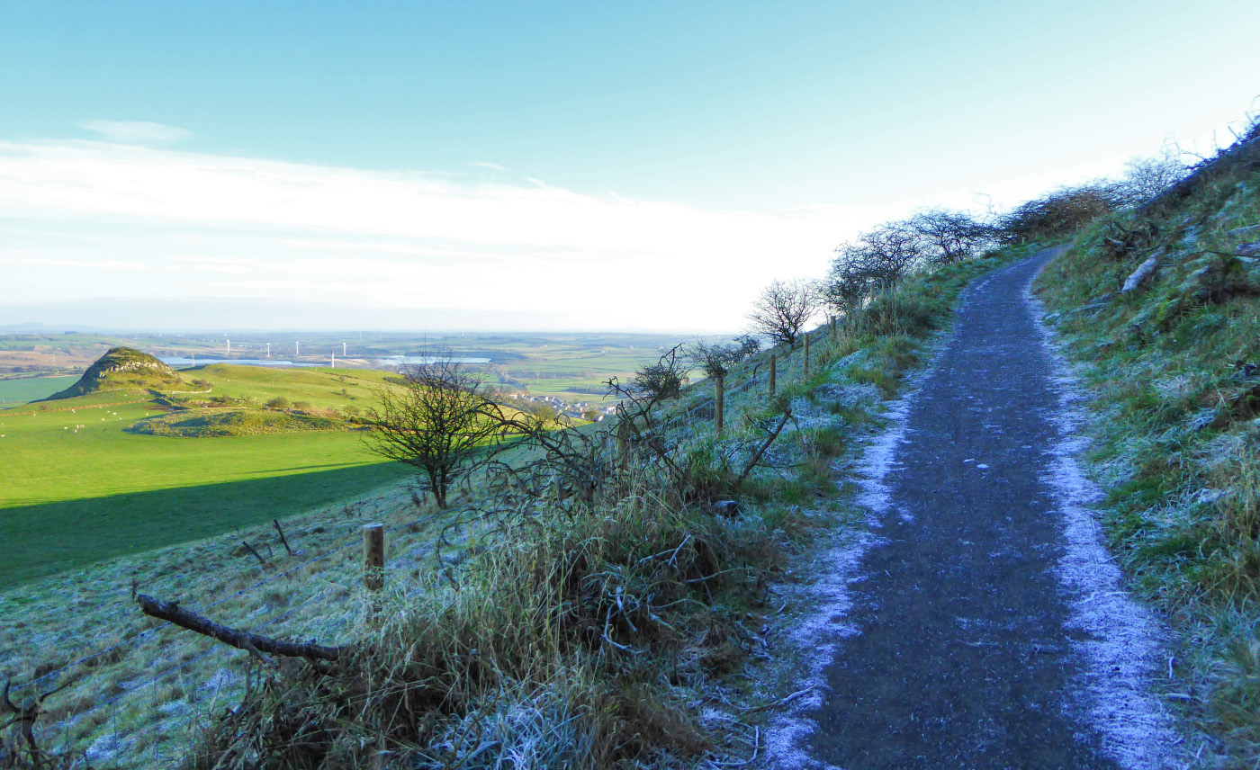
When you reach the corner post of the fence (where the fence veers left), look for the grassy path heading away to the right and follow this for a short distance downhill, carefully stepping over some logs that have fallen across the path, until you reach an excellent surfaced path. This path connects the Loch Leven Heritage Trail to Fife’s core path network and was installed in 2017 on behalf of the Living Lomonds Landscape Partnership. If you felt VERY energetic you could head left down to the RSPB visitor centre for a coffee and a cake…..but it’s a long way down and an even longer way back up again!
Anyway, once you reach the surfaced path you are now back onto the Red waymarked route. Turn right and climb uphill:
When you reach another metal pedestrian gate go through this but ignore a second metal gate immediately after it on your left. Instead follow the red waymarker straight ahead onto the open forest road. Up until 2017 these slopes were densely forested, but trees are a crop just like any other, and now the hillside is bare.
Follow the forest road as it snakes downhill towards Loch Ore:
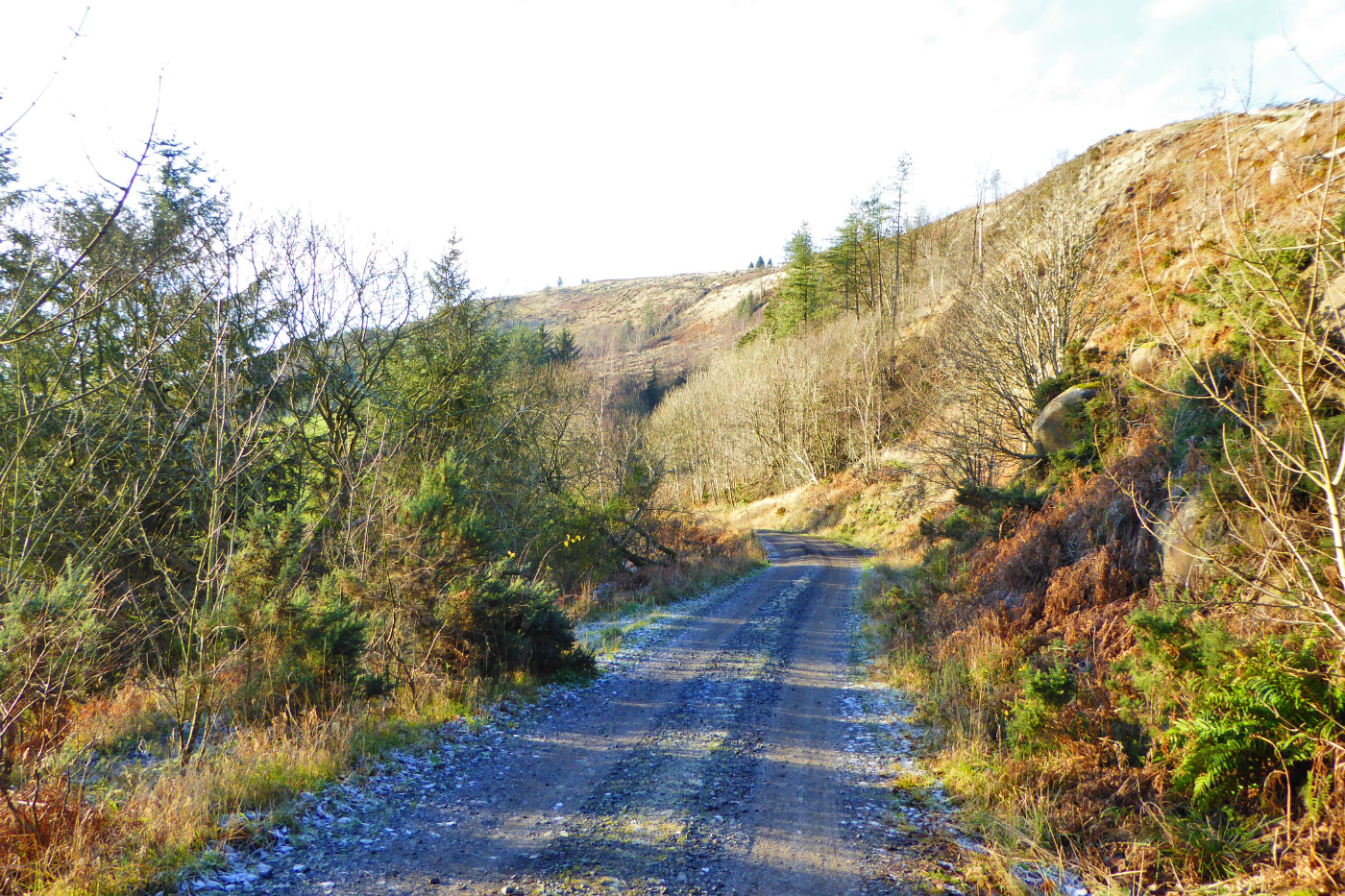
At a junction of forest roads, where a finger-post points the way to Lochore Meadows Country Park, turn right. I’m afraid there’s a bit more climbing to do at this point but don’t worry, it’s not too bad plus this is the last ascent of the walk.
After 0.5km you arrive back at the junction with the bench, which you passed through earlier:
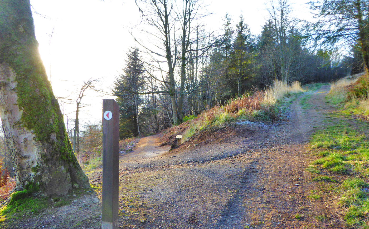
Follow the Red waymarker and take the left turn, retracing your way back down the switchbacks and the steps, all the way down to the layby on the minor road.
At the layby, cross back over the road and retrace your steps back along the farm track until you reach the gate on your right, where you emerged from Harran Hill Wood earlier on.
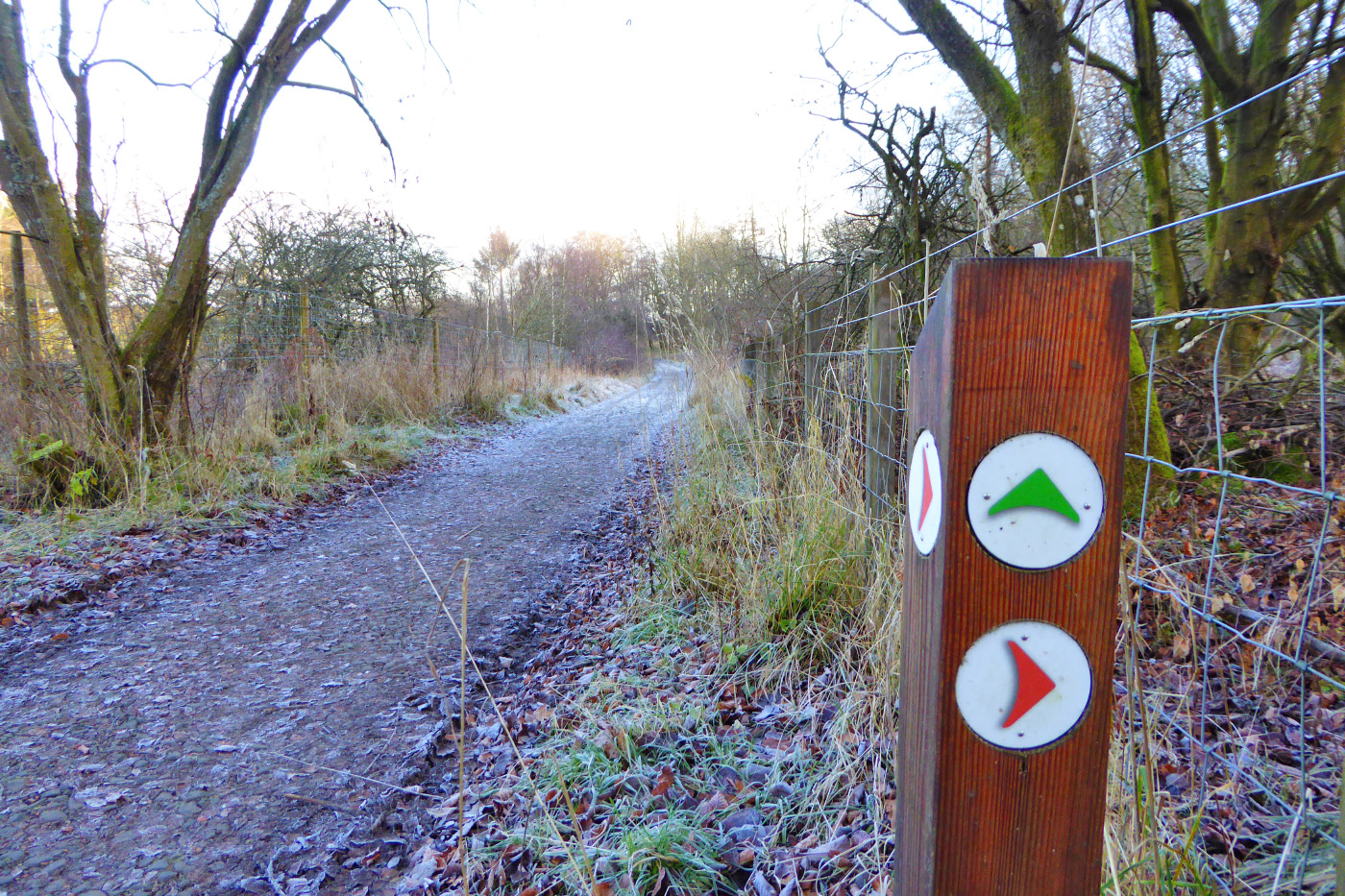
If you’ve had enough by this point, you can cut the walk short by following the Red arrows through the gate and retracing your steps through Harran Hill Wood back to the car park at Benarty Bay.
Otherwise, ignore the gate on your right and instead continue along the farm track, following the Green arrows.
After 10 or 15 mins (1km) of walking on the farm track, immediately after some ruins on your right, a Green waymarker points to the right. Go through the metal gate and into the open field.
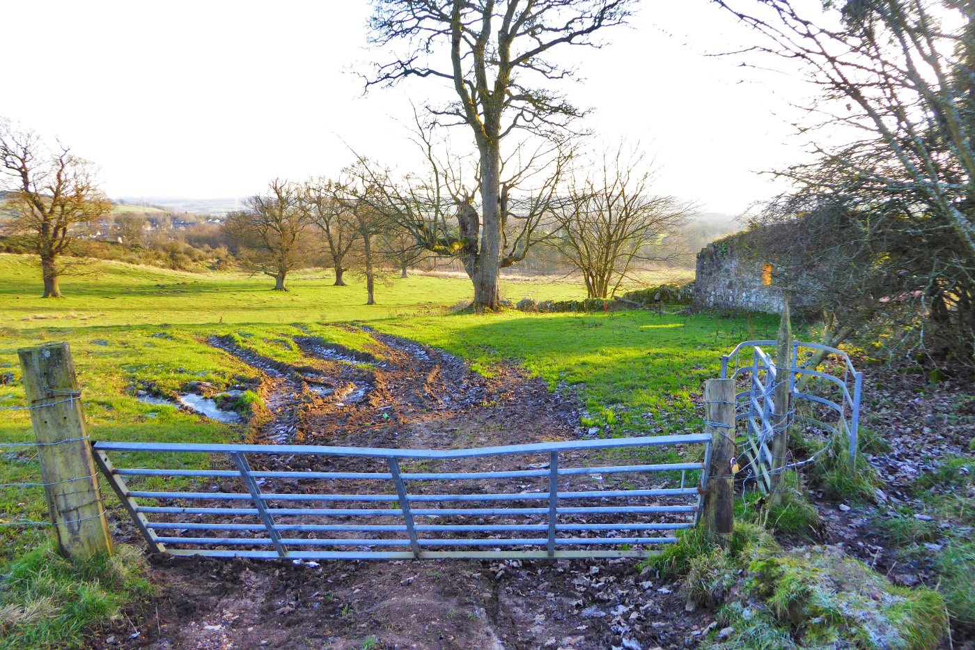
At first it’s not clear where on the other side of the field you are aiming for but don’t panic. To start with, keeping the ruin and the rusty old car immediately on your right, walk to the end of the low ruined stone wall beyond them and then stop. This gives you a better view of the whole field.
You want to reach the road on the far side of the field, at the very bottom of the hill. If you can see the old colliery winching tower at Lochore Meadows then aim for that. If not, if you aim a bit to the right in the direction of Loch Ore and head generally downhill this will take you in the right direction, but I’ve marked where you should aim for in this photo:
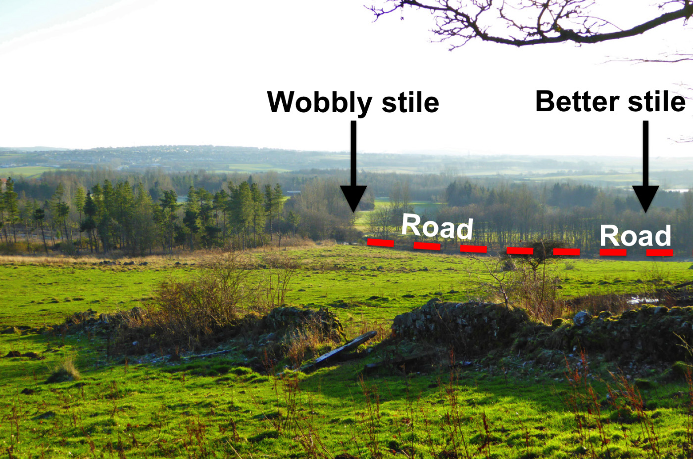
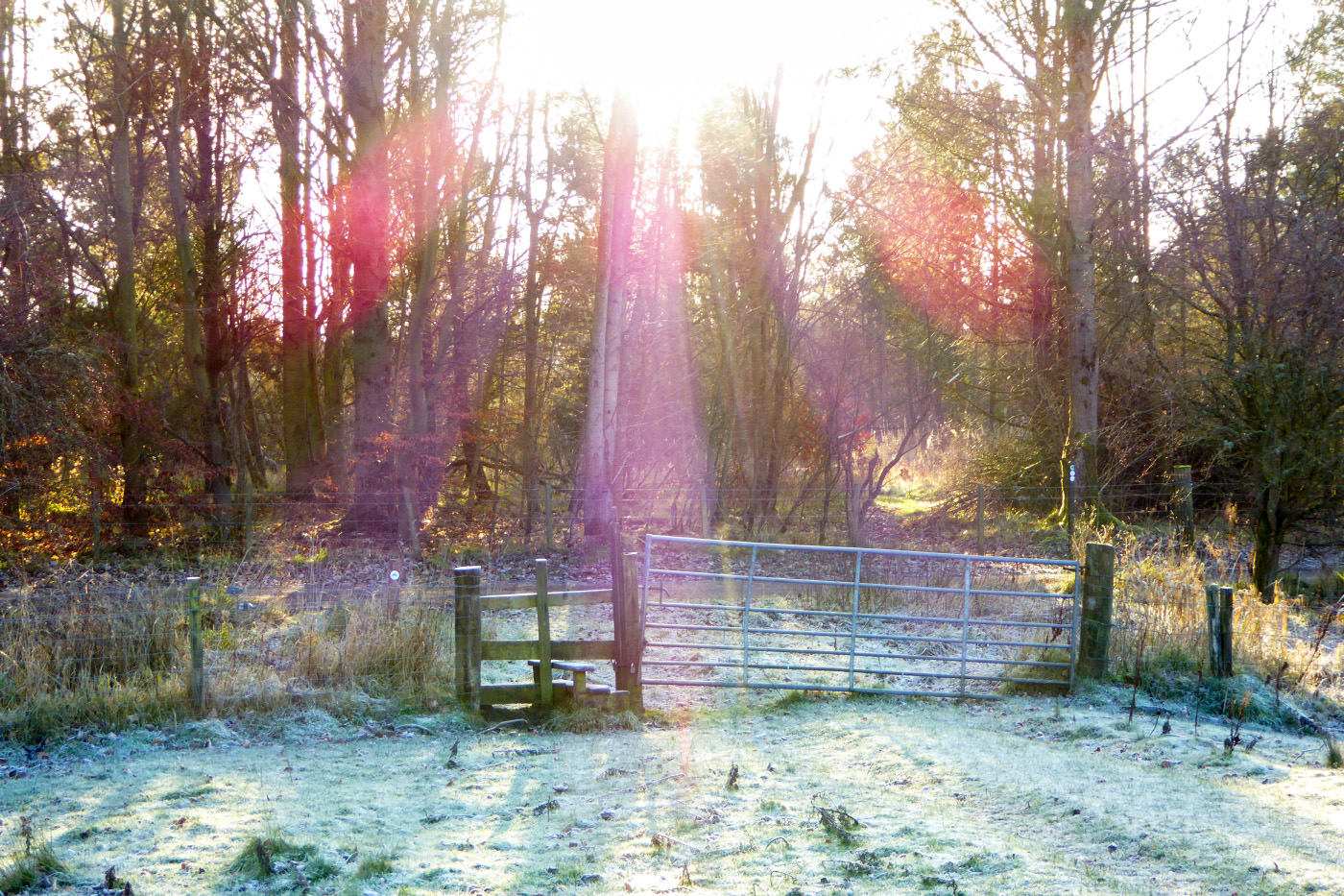
When you reach the bottom of the hill (and the road) there are two stiles you can use to cross the fence, about 100m apart. The old one to the left, near the tall conifers, is a bit wobbly so you’re best using the better one further along on the right, which is next to a metal farm gate and has the Green waymarkers nearby.
Whichever stile you use, you then want to turn right onto the road and walk for a couple of hundred metres until you reach a left turn that takes you into an open area that is dominated by the massive concrete winching gear of the Mary Colliery, and a steam engine that looks tiny alongside it. The colliery closed in 1966, and this particular shaft was sunk to a depth of more than half a kilometre!
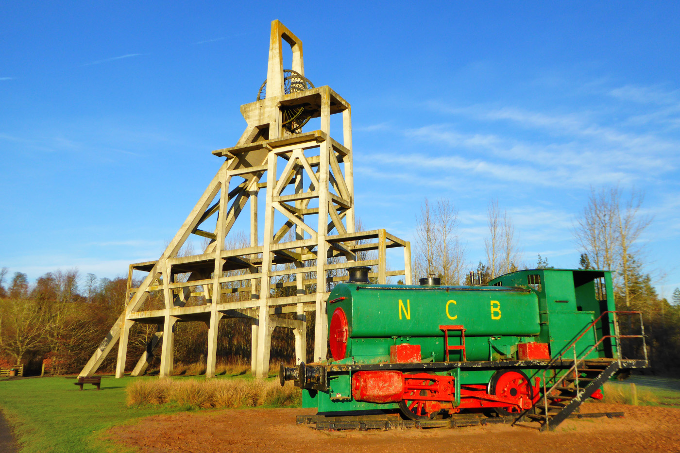
Follow the wide surfaced track past the tower and train towards the loch. You will pass the car park, the Willie Clarke Centre (with a café!) and the playground in order to reach the loch shore.
At the shore turn right. This path circles the whole loch and will lead you directly back to the car park at Benarty Bay:
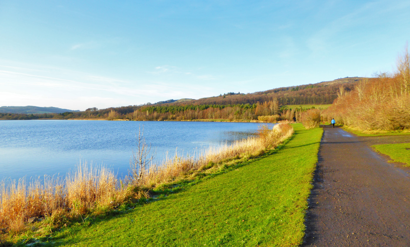
Just mind to keep to the loch shore and ignore any turnings to the right. It will take you around 15 minutes to walk from the Willie Clarke Centre to Benarty Bay, and along the way keep an eye out for some of the 1km of hedgerows that have been skilfully laid by the local Fife Coast & Countryside Trust (FCCT) rangers and volunteers over the past decade.
When you’ve finished the walk, spare a thought for the enormous efforts that go into maintaining Fife’s path network and managing its coast and countryside, because paths, gates and waymarkers don’t install themselves. In 2017 alone, FCCT constructed or repaired 35km of paths, installed 35 interpretation / information panels, and put up 50 finger-posts and 200 waymarkers. We all have a right of access to the countryside, but without land managers, ranger services and volunteers on the ground actually providing the means of access, many of our cherished places would be out of reach.
Note: this route is for supporting information only. Anyone venturing into the countryside does so at their own risk and should be properly dressed / equipped for the occasion.
Enjoy Scotland’s Outdoors – know your access rights & responsibilities:
https://www.outdooraccess-scotland.scot/sites/soac/files/docs/know_the_code_leaflet.pdf